Advertisement

Waltham Weather Outlook: Dec. 10 to Dec. 17, 2025 

Another push of arctic air arrives late Sunday into early next week. Canva stock image.

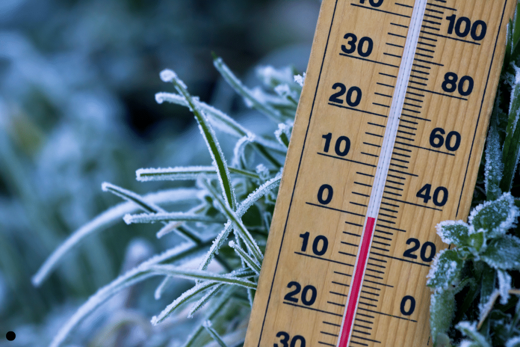
A mild, cloudy start to the period gives way to a sweeping cold front tonight, bringing a quick round of rain followed by sharply colder and much windier weather Thursday into Friday. Wind chills fall into the single digits Thursday night as arctic air settles in. The weekend stays cold, with Saturday generally dry; the risk for accumulating snow Saturday night into Sunday has decreased but remains uncertain and could shift with future model trends. Another push of arctic air arrives late Sunday into early next week with temperatures staying well below normal and mainly dry conditions dominating.

Share anonymous news tips

You can leave a news tip anonymously, but if you would like us to follow up with you, please include your contact information

Advertisement
Author

Matthew Moll is a degreed meteorologist, founder of New England Weather Consulting, and a member of both the American Meteorological Society (AMS) and National Weather Association (NWA). He provides hyper-local, science-backed forecasts for communities across Massachusetts.

Comments (0)

There are no comments on this article.

Leave a comment

When commenting, please keep in mind we are a small non-profit focused on serving our community. Our commenting policy is simple:

  1. Common sense civility: we’re all neighbors, but we can disagree.
  2. Full name required: no anonymous comments.
  3. Assume the best of your neighbors.

Your email address will not be published. Required fields are marked *

This site is protected by reCAPTCHA and the Google Privacy Policy and Terms of Service apply.

Get a WT hat when you donate $5/month or more before Dec. 31!

Support your local news →