Waltham Weather Outlook: July 3 – July 9, 2026
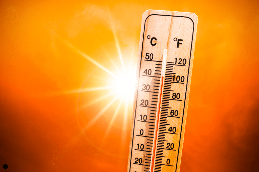
UPDATED: A dangerous heat wave will continue across eastern Massachusetts through Independence Day, with the most oppressive conditions occurring Friday. Afternoon temperatures will approach or exceed 100°F in many locations, while tropical humidity pushes heat index values into the 100–110°F range. Overnight temperatures will provide little relief, remaining well into the 70s. A cold front will cross the region Saturday, bringing a chance for scattered thunderstorms, a few of which could produce damaging wind gusts. Confidence in the exact timing and coverage of storms remains lower than average. Behind the front, a much more comfortable air mass settles into southern New England for the remainder of the holiday weekend and much of next week, with seasonable temperatures, lower humidity, and mainly dry weather. A weak disturbance may bring a period of showers and thunderstorms Monday night into Tuesday before warmer weather begins to return late next week.
Author